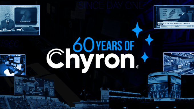
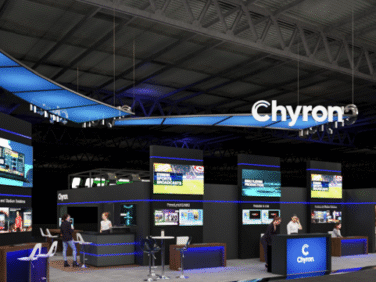
Setting the Standard - Since Day One
With a rare combination of proven reliability, deep workflow integration, and continuous innovation at scale, Chyron is the enterprise standard for live broadcast visual storytelling.
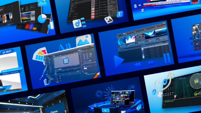
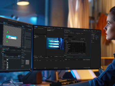
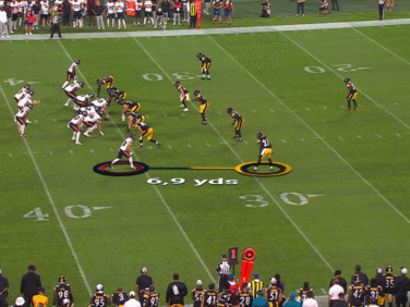
Our technology powers the world’s most demanding productions – seamlessly orchestrating graphics, virtual elements, and data into unified, operator-friendly ecosystems. Unlike point solutions, Chyron enables broadcasters to do more with fewer systems and people, reducing complexity while elevating production quality.
With decades of trusted performance and a forward looking investment in cloud and AI, Chyron remains the partner enterprises rely on when failure is not an option and where success is measured in seconds, not promises.